
 Image 1 of 1
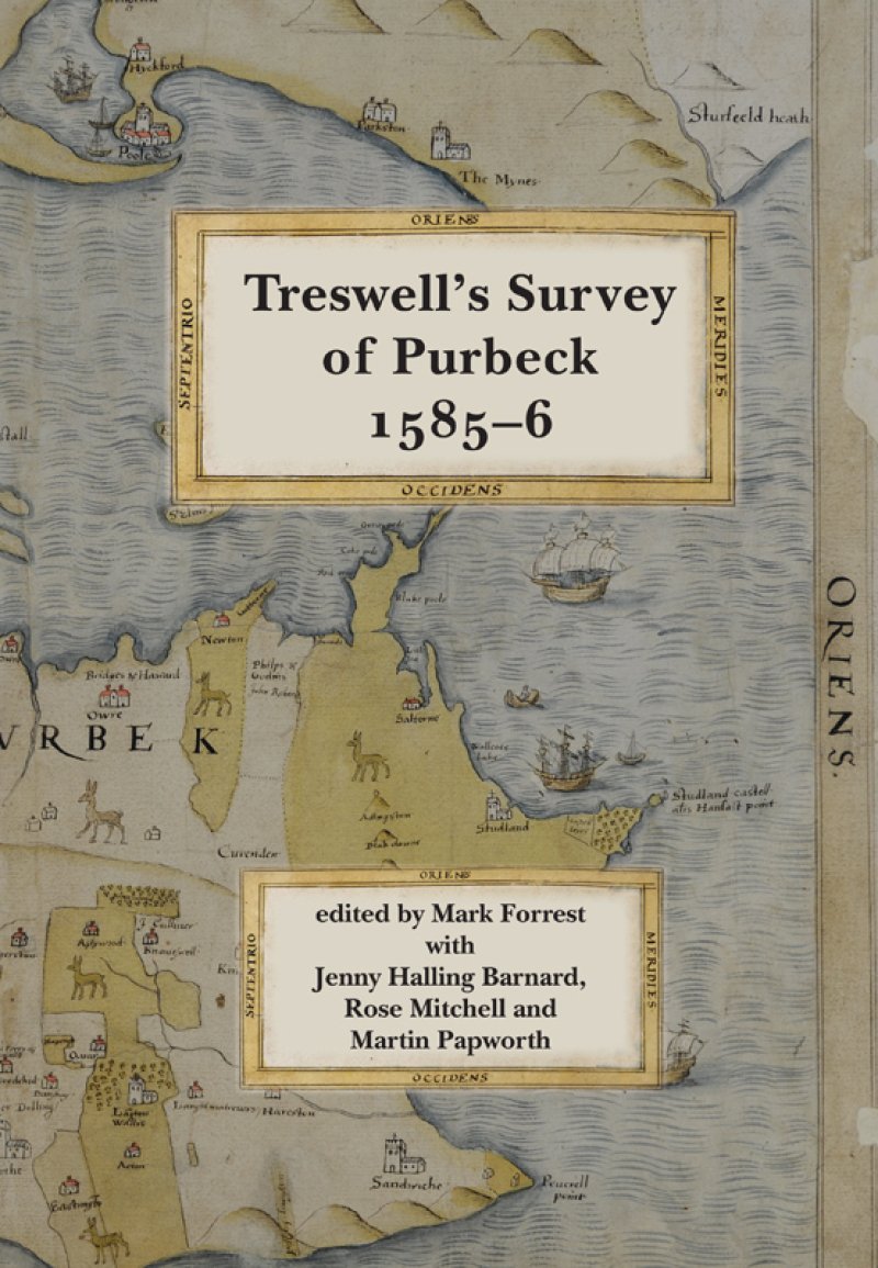
When Elizabeth I’s courtier Sir Christopher Hatton acquired lands in Purbeck he commissioned Ralph Treswell to produce a survey of his estate.
Treswell used the most advanced and revolutionary mapping techniques to create a document that still conveys the character of the late Tudor landscape. The detailed plan of Corfe Castle gives an insight into the building’s features and construction only sixty years before its destruction in the Civil War.
This facsimile edition reproduces all of his maps, together with maps by Saxton and Hawsted with which they were bound, the accompanying written survey and a transcription in modern English. It is introduced by four essays that provide a national cartographic, archaeological and historic context by exploring the themes of early map making, land use, manuscript conservation and estate management.
2017, ix, 189pp, large format colour casebound, £25.00, ISBN 978-0-900339-22-6
More information about Dorset Record Society and earlier volumes.